
Territorial development
Analytical support for communities, place-based strategies, regional planning, and territorial systems.
GIS · Spatial Intelligence · Research · Recovery
This section functions as the institutional expertise hub of the website. It connects the main work areas of Modern Generation with project formats, search-intent landing pages, and concrete partner-facing use cases.
The work areas below are intentionally broad enough to support institutional positioning and specific enough to route visitors toward relevant cooperation topics.
Analytical support for communities, place-based strategies, regional planning, and territorial systems.
Map layers, spatial data logic, dashboards, and geospatial workflows for partners and projects.
Decision-support environments that connect location data, analytics, and programme logic.
Needs assessment, stakeholder evidence, surveys, qualitative inquiry, and analytical interpretation.
Indicator systems, reporting logic, performance review, and programme learning workflows.
Structured information environments that present evidence, maps, dashboards, and decision pathways.
Analytical framing for territorial recovery, prioritisation, and strategic implementation logic.
Consortium dialogue, partnership positioning, and local institutional support for international actors.
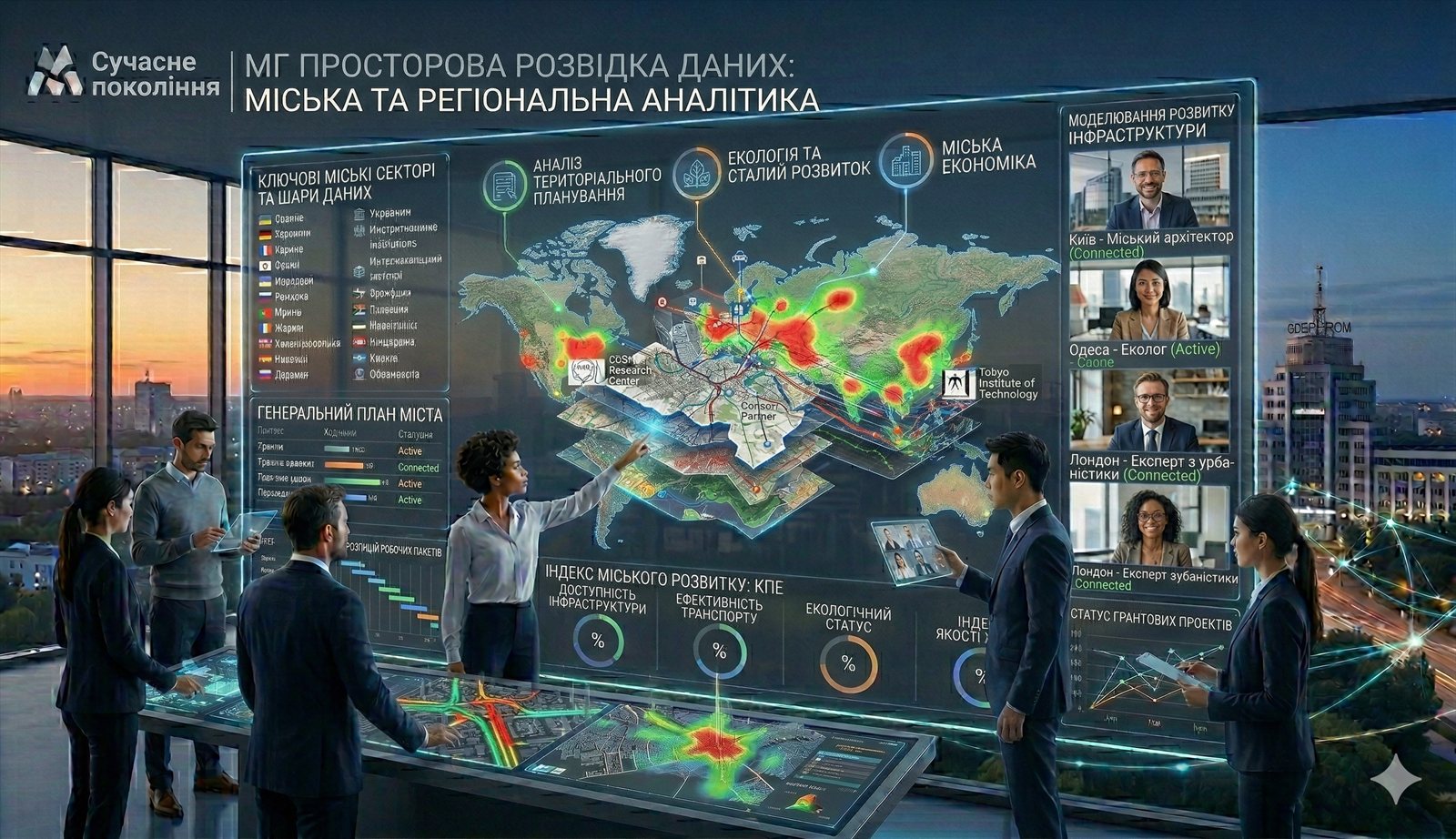
These visual references show how expertise can be translated into practical systems, planning interfaces, and analytical outputs without losing the institutional tone of the platform.
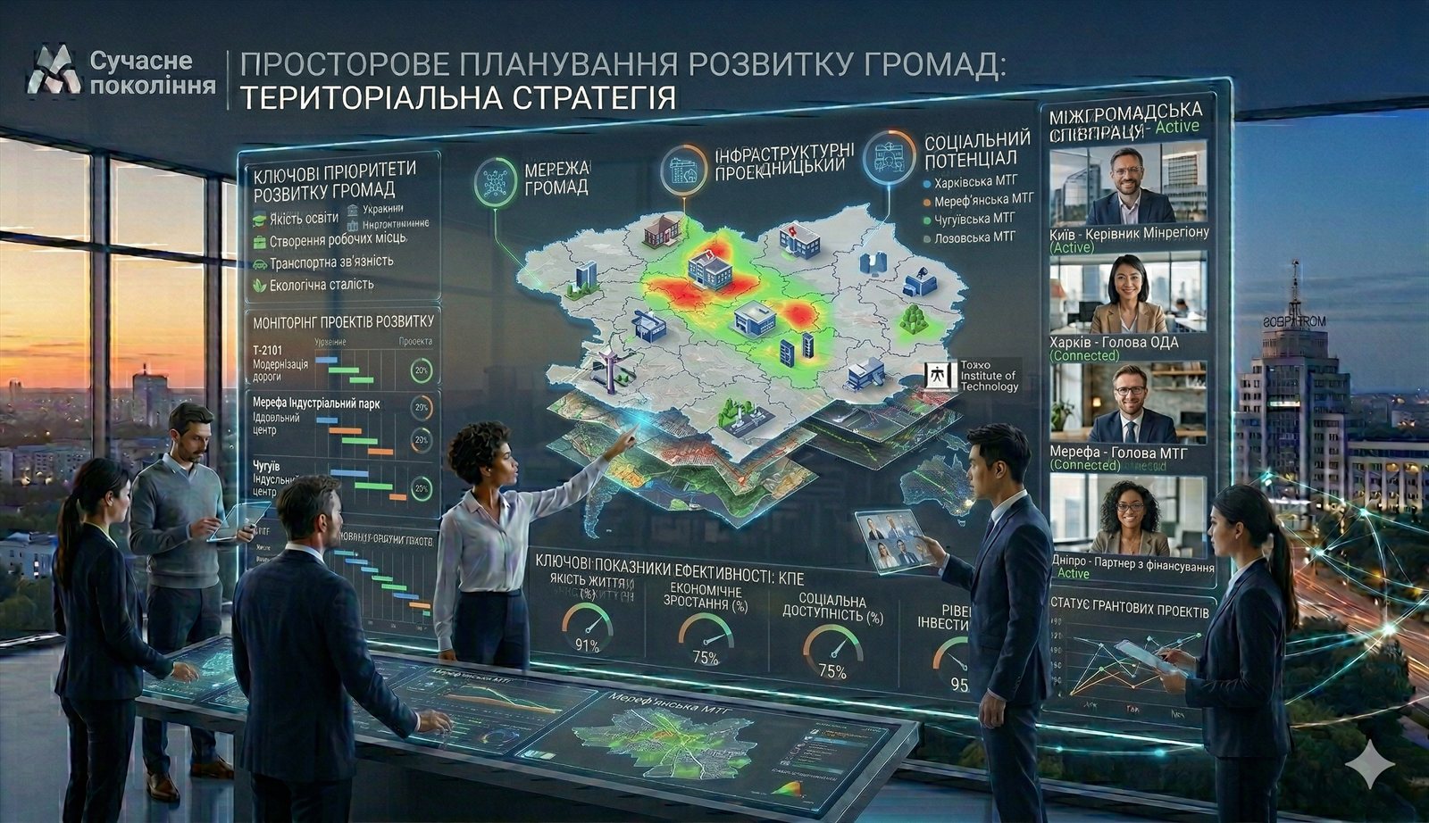
Structured territorial analysis for local strategies, development diagnostics, and stakeholder dialogue.
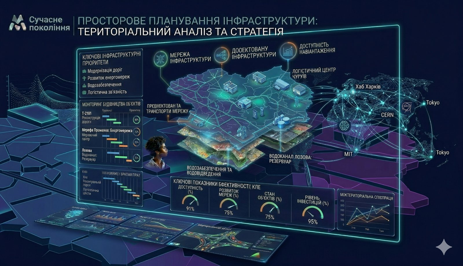
Evidence-oriented planning environments for infrastructure decisions and regional resilience.

Reusable geospatial interface patterns for communities, programmes, and analytical partners.

Layered monitoring and territorial analysis for complex programme and planning environments.
The SEO layer below turns broad directions into concrete entry pages for search traffic, lead generation, and precise cooperation intent.
Institutional positioning for platform-ready territorial intelligence.
Open page →Community GIS, layers, and partner-facing geospatial workflows.
Open page →Indicators, learning, and evaluation design for programmes.
Open page →Recovery support, evidence framing, and territorial prioritisation.
Open page →Research design, community evidence, and stakeholder analysis.
Open page →Institutional partnership positioning for work in Ukraine.
Open page →Energy planning support grounded in territorial analytics.
Open page →Spatial intelligence for opportunity mapping and regional energy logic.
Open page →Training modules, workshops, and verification-ready learning certificates.
Open page →Institutional Ukrainian NGO partner route for international grant consortia.
Open page →GIS, indicators, social evidence, and recovery planning for communities.
Open page →Applied studies, policy briefs, evidence outputs, and research partnerships.
Open page →If one or more of these directions aligns with your project, programme, consortium, or institutional need, the next step is a focused discussion about scope and cooperation format.