
Municipal planning & services
Institutional GIS platforms for local governments requiring spatial data management, service planning, infrastructure mapping, and community engagement tools.
Community GIS · Territorial Data · Institutional Platforms
Modern Generation designs institutional GIS platforms for communities, municipalities, and territorial development initiatives that require structured geodata architecture, analytical workflows, and evidence-based decision support.
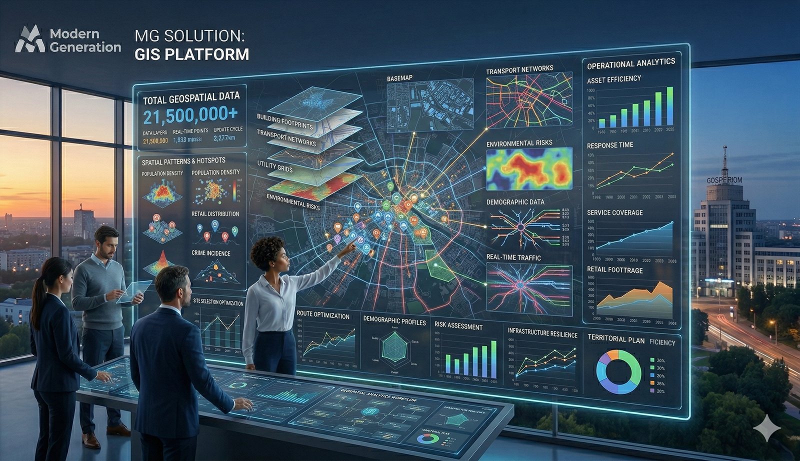
GIS platforms for communities become essential when local institutions need structured spatial data systems that support planning, service delivery, and evidence-based decision-making.
Institutional GIS platforms for local governments requiring spatial data management, service planning, infrastructure mapping, and community engagement tools.
GIS environments for community-based development initiatives that need spatial analysis of needs, assets, vulnerabilities, and programme targeting.
Territorial platforms for environmental monitoring, natural resource management, and sustainable development planning at community and regional levels.
GIS platforms supporting community resilience, emergency planning, disaster response coordination, and recovery monitoring initiatives.
Modern Generation develops comprehensive GIS platforms that integrate data management, analytical tools, and user interfaces into institutional-grade community systems.
Structured data architecture for administrative boundaries, infrastructure, environmental data, and socio-economic indicators with quality assurance.
Map-based analysis tools, spatial queries, overlay operations, and reporting capabilities designed for non-technical community users.
Interactive visualization interfaces that present spatial data, indicators, and analytical results in accessible formats for community stakeholders.
Platform design that connects community GIS systems with institutional data systems, reporting requirements, and partner coordination needs.
Modern Generation brings institutional expertise and research-based methodology to community GIS platform development, ensuring sustainability and local capacity building.
GIS platform development based on community research, user needs assessment, and evidence-based design principles for sustainable adoption.
Full technical development from data architecture to user interfaces, with scalability, security, and institutional-grade reliability standards.
Comprehensive training programmes, knowledge transfer, and institutional support to ensure community ownership and platform sustainability.
Modern Generation is prepared to collaborate on GIS platform development with communities, municipalities, NGOs, and development partners seeking spatial intelligence solutions.