Regional opportunity framing
Showing where spatial logic and infrastructure context may support a renewable energy idea.
Project Page · Energy Planning · Geospatial Intelligence
This project format illustrates how Modern Generation can support renewable energy concepts through GIS layers, opportunity mapping, territorial framing, and analytical communication for regional stakeholders and programme partners.
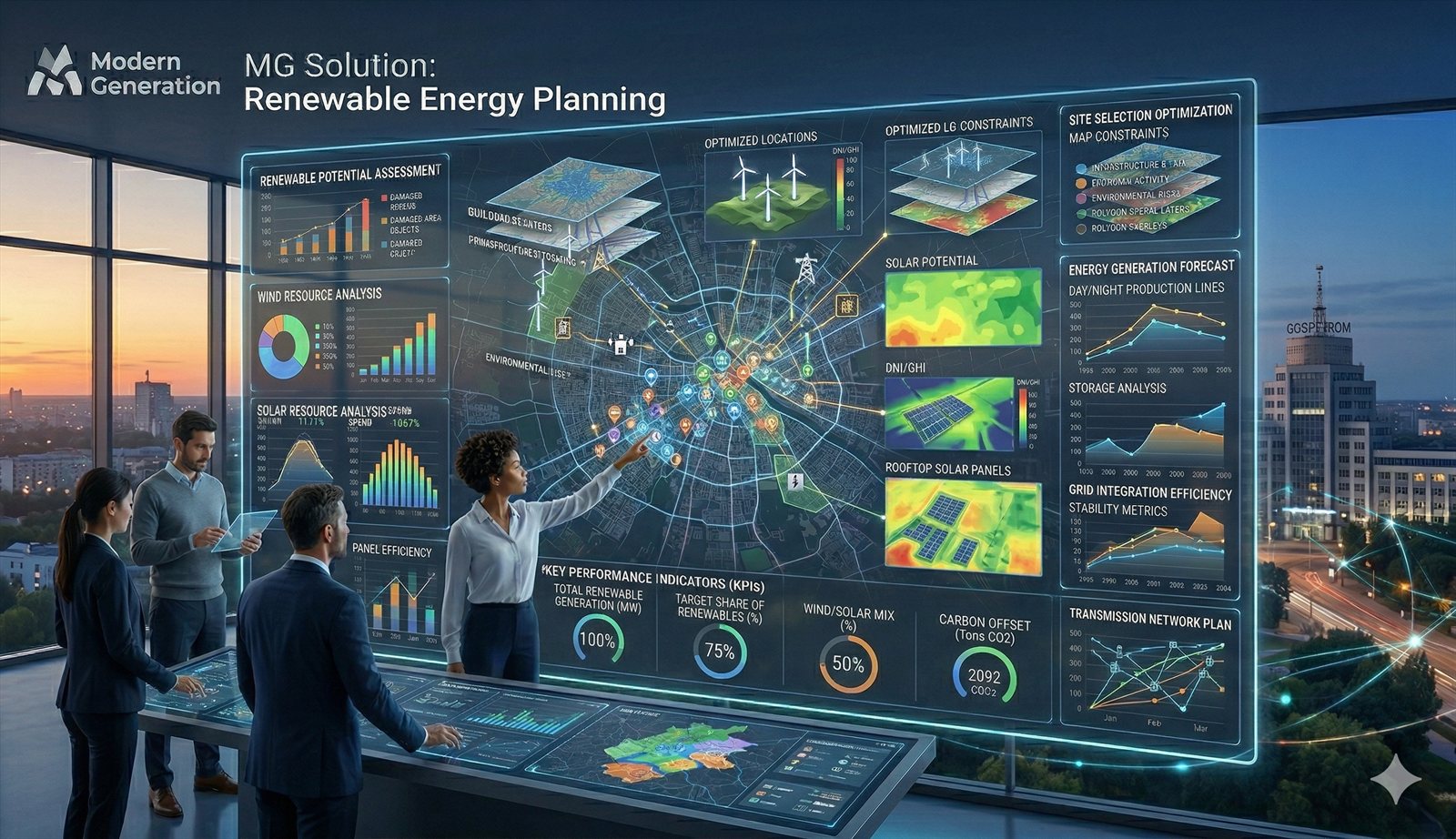
Energy concepts often require stronger territorial evidence before they can be discussed credibly across institutions, communities, and partners.
Showing where spatial logic and infrastructure context may support a renewable energy idea.
Translating technical and territorial signals into a clear institutional narrative.
Using maps, indicators, and territorial interpretation to support better planning conversations.
This kind of project can combine geospatial, analytical, and communication-ready components.
Territorial views for site and region discussion.
Evidence blocks and indicator-based interpretation for partner review.
Concise explanation of territorial relevance and planning implications.
Support for energy conversations inside wider regional or recovery programmes.
This page connects energy-oriented work to the broader GIS and territorial intelligence architecture of the site.